Understanding Volcanic Hazard Maps in the Caribbean
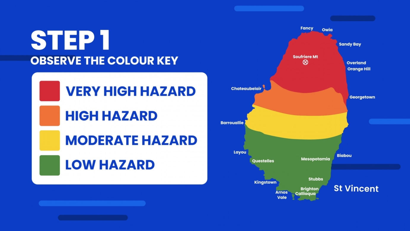
One of a four part series of animations explaining volcanism in the Caribbean, this video breaks down how to read a hazard map and identify routes to safety as well as name the disaster management authorities serving the English-speaking Eastern Caribbean.
This video came at a timely moment, as during its production in late 2020 the La Soufrière volcano in St Vincent and the Grenadines erupted. This prompted North Eleven to speed animation development. Determined to be the most critical information at the time, this video was released first.
Effusive eruptions began on 27 December 2020, and on 9 April 2021, there was an explosive eruption. Explosively eruptions continued over the following days with pyroclastic flows. The island is still on alert at the time of this upload in September 2021.


![Preview image for the video "Made Monster - Triggered feat. BraveBoy [Music Video!]". Preview image for the video "Made Monster - Triggered feat. BraveBoy [Music Video!]".](/sites/default/files/styles/square_original_/public/oembed_thumbnails/Pl3EHmuA4lZFAZ4IOaX0LwRtHRZQ94CLQCSwOSdnLtQ.jpg?itok=yXELXjjn)


